

Nearest Bomb ShelterIn Under 3 Seconds.
A Progressive Web App built for one purpose: locate the user and route them to the nearest bomb shelter before the siren ends. PostGIS K-nearest-neighbor queries across a 10,000+ shelter database return results in milliseconds, then real routing data computes walking, biking and running ETAs to the shelter door.

The Actual Interface.
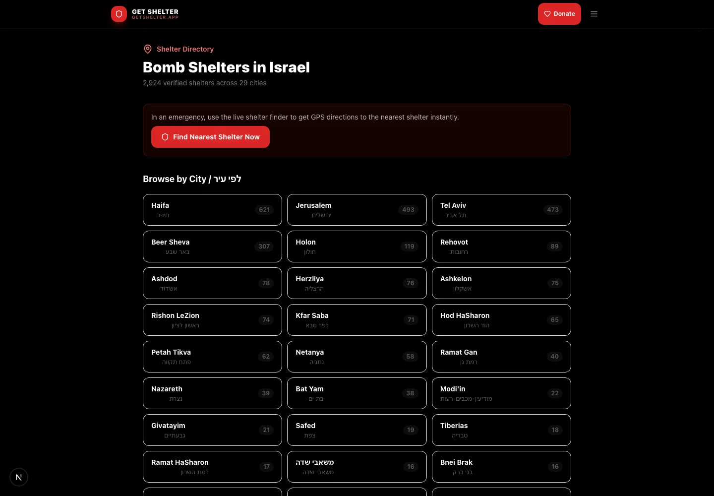
A Siren Does Not Leave Time For A Search Box.
The window between a siren and impact is measured in seconds. Anything that asks the user to type, choose or wait has already failed.
Speed is the feature. Everything in ShelterNow is arranged around removing steps between opening the app and moving toward a door.
Open, Route, Go.
GPS and instant routing. Browser GPS fires on load. No search, no form. The app immediately queries for the five nearest shelters and draws the fastest route to your screen.
PostGIS K-NN on Supabase. 10,000+ shelter locations indexed with PostGIS. K-nearest-neighbor queries using the distance operator return the closest 5 shelters in milliseconds, not seconds.
Real-time routing. Actual road routing via Mapbox Directions rather than straight-line guesses. ETAs recalculate as the user moves, and the animated route overlay updates in real time.
Offline-ready PWA. A PWA manifest and service worker cache map tiles and shelter data on first load. Install it to the home screen and it works even when the network is degraded.
From Tap To Shelter In Three Steps.
Step 01, locate. The browser Geolocation API fires on page load. Coordinates are sent immediately, with no typing and no waiting.
Step 02, query. The PostGIS K-NN query finds the 5 nearest shelters from 10,000+ indexed locations in under 50ms. Results include address, capacity and shelter type.
Step 03, route. Mapbox Directions returns the exact walking path, React-Leaflet renders the animated route, and ETAs update as the user moves.
- Next.js (PWA)
- React-Leaflet
- Supabase PostGIS
- Mapbox Directions
- Service Worker
Let’s Build What’s Next.
Bring the business problem. We’ll talk through what would make a difference and where to start.